
Drone photography and video
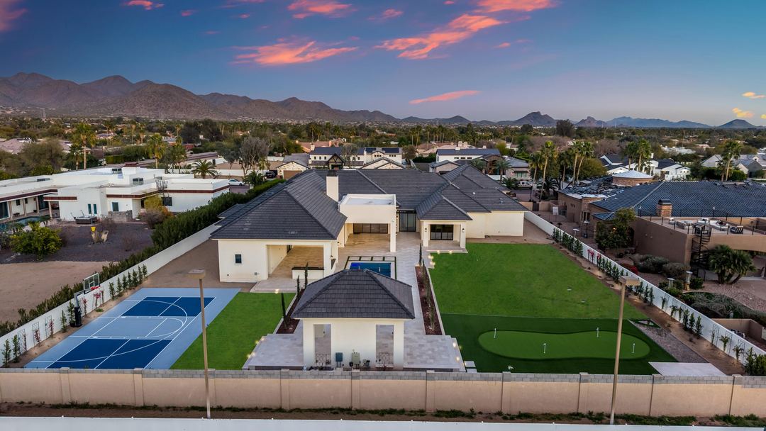
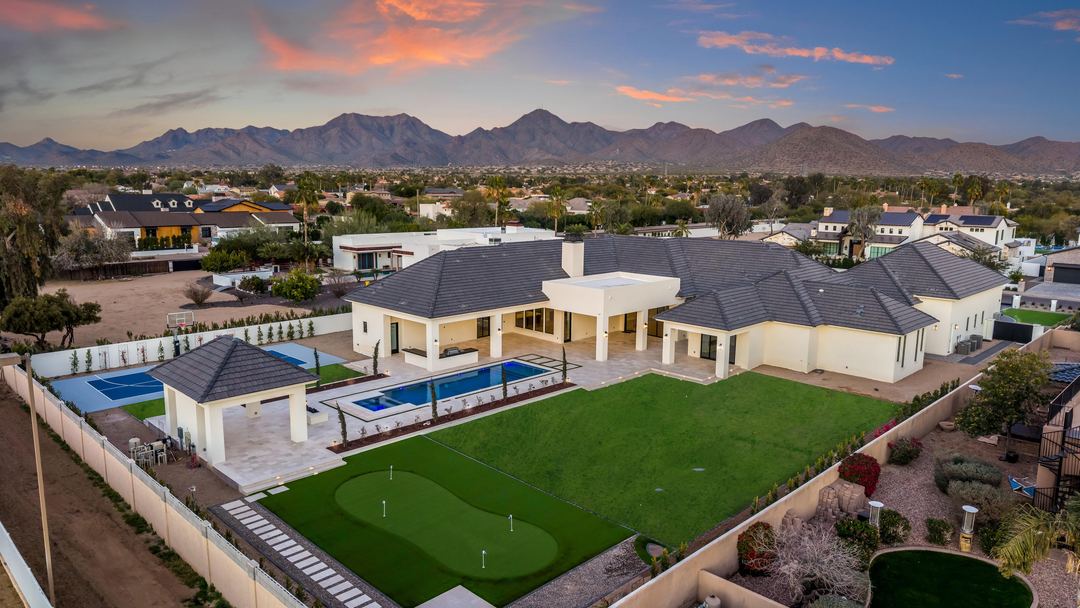
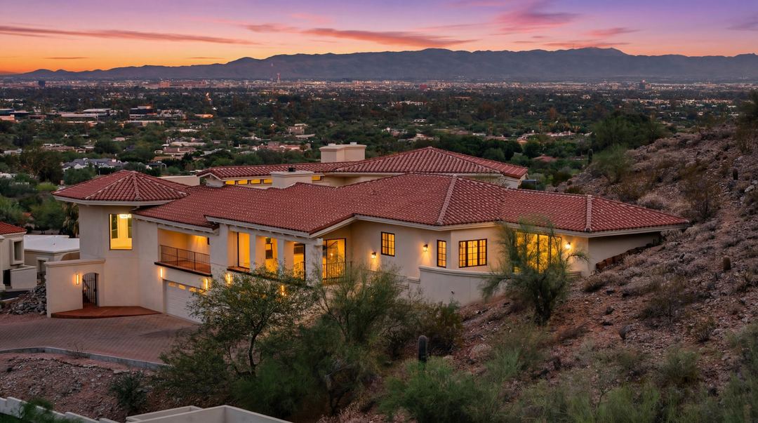
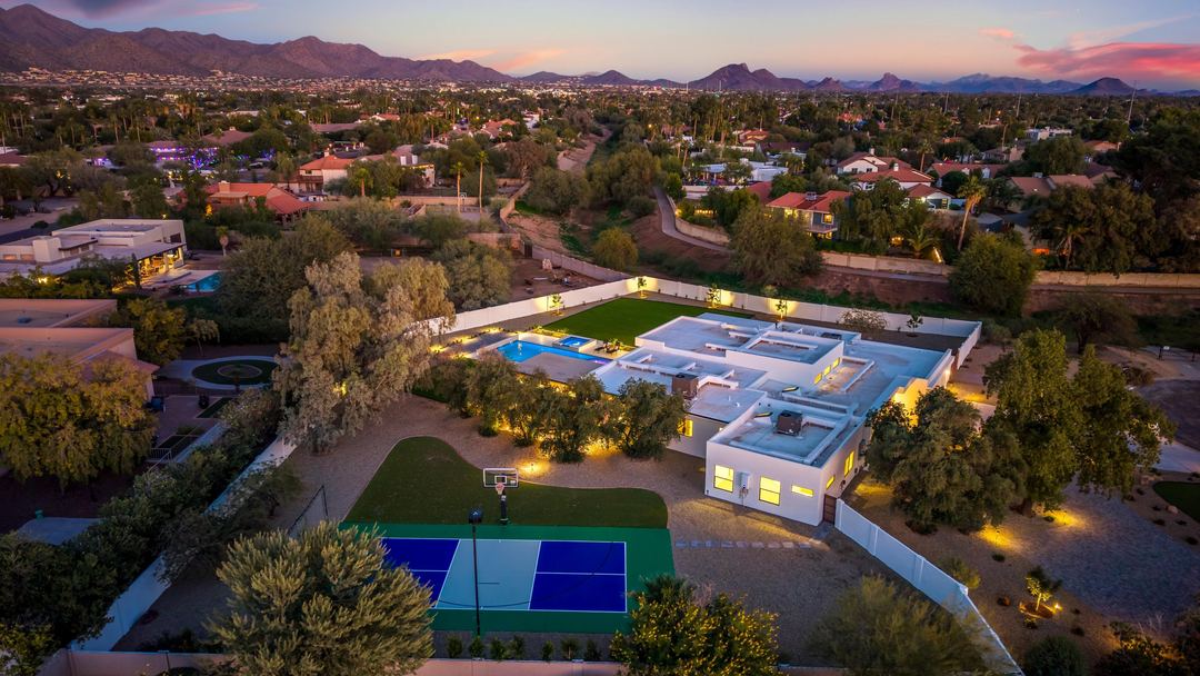
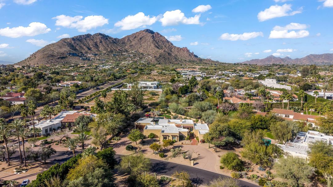
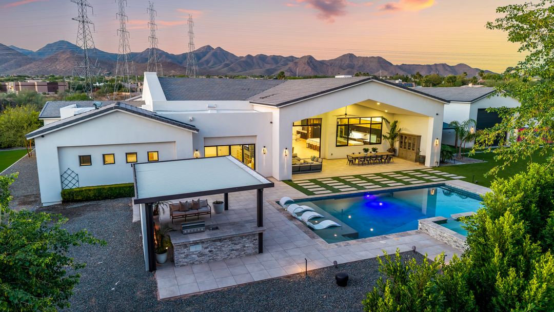
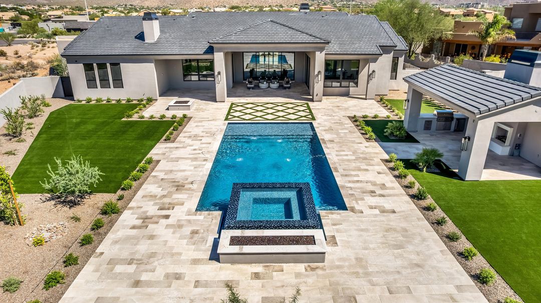
Aerial photos and video of the house, the lot and the neighborhood, flown by an FAA Part 107 certified pilot.
What we fly
- Aerial photos of the house, the lot and the neighborhood.
- Aerial video. A 30 second aerial clip on its own, or the drone footage that comes with every Premium listing video.
- Property lines drawn onto your aerials.
Property lines
$75 covers up to five aerials, and each one after that is $15. The lines are approximate, not a survey.
Near an airport?
A lot of the Valley is in controlled airspace around Sky Harbor, Scottsdale Airport, Falcon Field, Chandler Municipal and Phoenix-Mesa Gateway. If the address needs FAA authorization, we get it before the shoot.
Questions agents ask
- Are the property lines exact?
- No. They’re approximate, not a survey. They show buyers the general shape of the lot.
- Is the pilot licensed?
- Yes. Every flight is flown by an FAA Part 107 certified pilot.
- Can you fly near the airport?
- Usually. In controlled airspace we get FAA authorization before the flight. Send the address when you book and we’ll check.
Have a listing coming up?
Book it online, or call or text (928) 710-1646 if you’d rather talk first.