
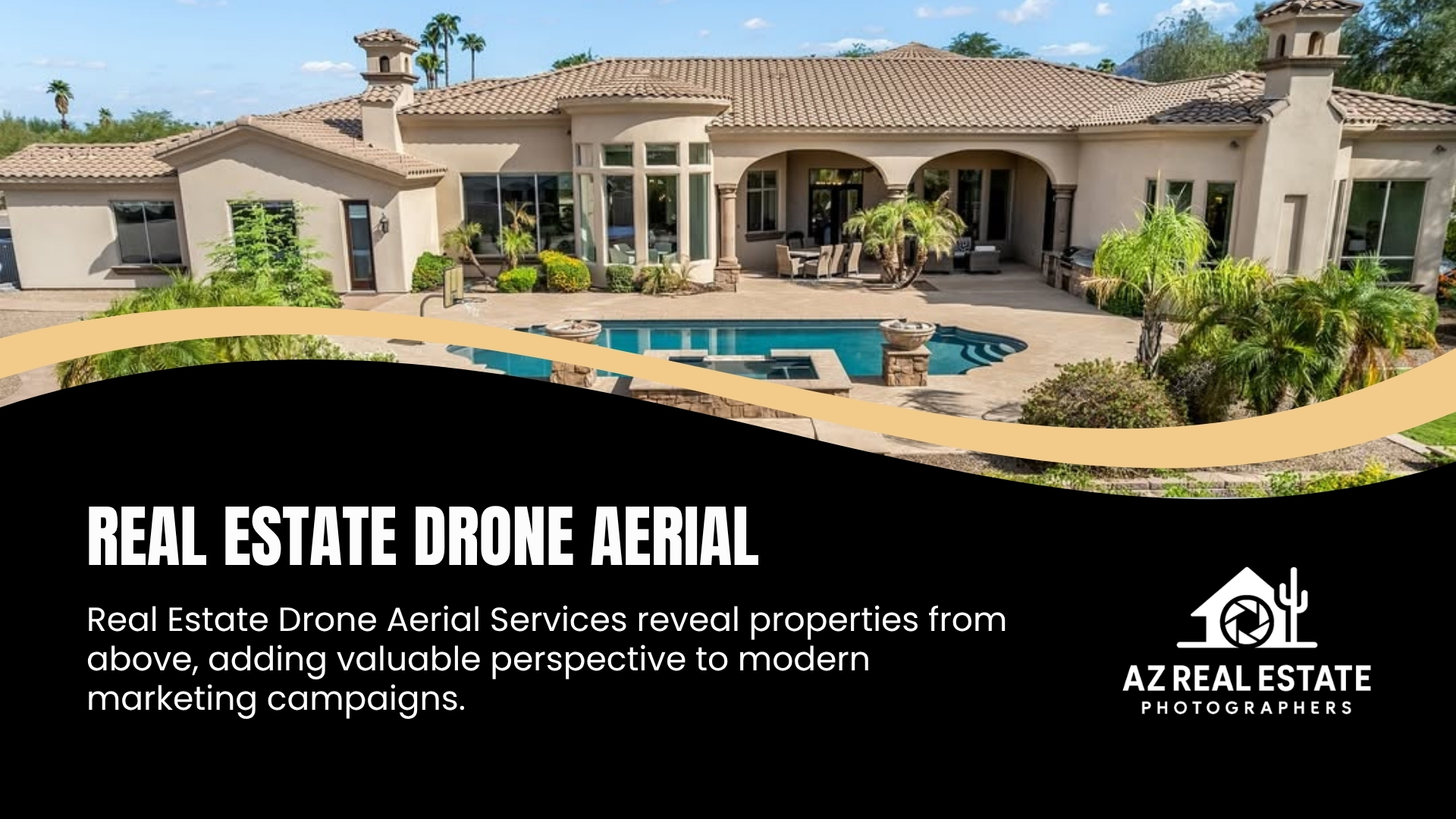
Real estate drone photography pricing in Phoenix isn’t a single flat number – it moves based on property size, whether you need photos, video, or both, how many packages you bundle together, and a few things specific to shooting in the Valley, like monsoon season and airspace rules near Sky Harbor and Scottsdale Airport. This guide breaks down exactly what shapes the price, so you know what you’re paying for and what questions to ask before you book. If you already know you want aerial coverage for a listing, our drone aerial services page has current packages and booking details.
This article is written for real estate agents, brokers, and homeowners in Phoenix who are comparing drone photography options and want to understand pricing logic before requesting quotes – not a sales pitch, just a breakdown of what actually drives cost.
What Actually Determines the Price of Drone Photography for a Listing
Drone photography pricing isn’t arbitrary. A handful of factors consistently move the number up or down, and understanding them helps you compare quotes apples-to-apples instead of just picking the cheapest line item.
Property Size and Type
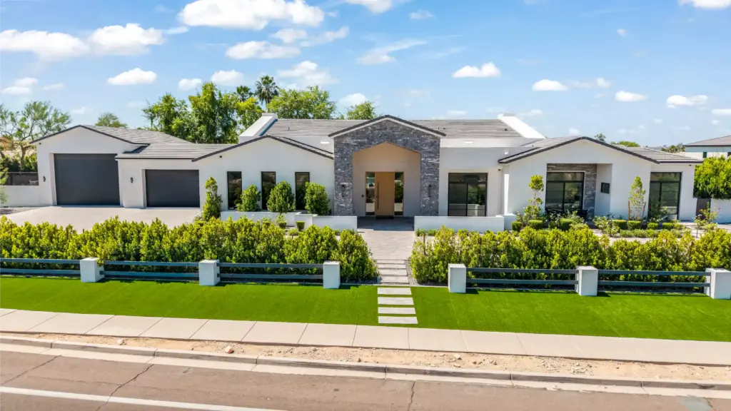
A quarter-acre suburban lot in Ahwatukee takes less flight time to cover than a five-acre custom property in North Scottsdale or a sprawling commercial site. Larger properties usually require more flight passes, more vantage points, and more editing time to cover the land, structures, and surrounding context properly – which affects cost.
Photos vs. Video vs. Combined Coverage
Still aerial photos are generally the least expensive option because they require fewer flight maneuvers and a simpler edit. Aerial video – especially cinematic footage with smooth reveals, orbits, and transitions – takes more planning, more flight time, and considerably more post-production work, which is reflected in price. Many companies offer combined photo-and-video packages at a lower combined rate than booking each separately.
Bundling With Other Services
Drone aerials booked alongside ground-level real estate photography, videography, or a 3D tour are frequently priced lower per service than booking drone work as a standalone add-on. If you’re already scheduling a listing shoot, it’s worth asking whether bundling brings the total down.
Editing and Turnaround Time
Basic color correction and cropping cost less than advanced editing – sky replacement, HDR blending for high-contrast desert light, twilight composites, or video with motion graphics and music licensing. Rush turnaround (same-day or next-day delivery) can also carry a premium over standard multi-day delivery.
Number of Shots and Angles
A package with a handful of establishing shots costs less than one that includes multiple altitudes, straight-down mapping shots, neighborhood context shots, and multiple times of day (like a dusk shot in addition to daytime coverage).
Travel Distance
Properties farther from the pilot’s base of operations may carry a small travel fee, which is common across the industry for jobs outside a core service radius.
Residential vs. Commercial vs. Luxury Properties
Pricing tiers typically shift with property category because the shoot complexity changes:
Residential listings are usually the most standardized – a set number of aerial stills or a short video clip showing the home, lot, and immediate surroundings.
Commercial properties (retail centers, office buildings, industrial sites, multi-family) often need more comprehensive coverage: full-site context, parking and access points, signage visibility, and sometimes multiple buildings on one property. This generally means more flight time and a higher price point.
Luxury properties often call for a more cinematic treatment – twilight shots, extended video sequences, sometimes coordination with ground photography and 3D tours for a cohesive marketing package. The visual bar is higher, and so is the editing investment, which is reflected in cost.
If you’re not sure which category your property falls into for pricing purposes, it’s a fair question to ask directly when requesting a quote.
Why Bundled Packages Are Often the Better Value
Many Phoenix real estate media companies – including full-service providers offering photography, videography, drone aerials, and 3D tours – structure pricing to reward bundling.
There are two practical reasons this matters beyond just saving money:
- One site visit covers everything. Ground photography, drone aerials, and a 3D tour can often be captured in a single appointment, which is more efficient for the agent’s schedule and the seller’s household than coordinating separate visits.
- Visual consistency. When the same team handles ground and aerial shots, the color grading, lighting treatment, and overall style tend to match across the full listing package – which matters when buyers scroll through MLS photos and expect a cohesive presentation.
If your goal is a complete marketing package rather than just an aerial add-on, ask whether a bundled rate is available before booking drone photography on its own.
Phoenix-Specific Factors That Can Affect Cost and Scheduling
A few things are particular to shooting drone real estate content in the Phoenix metro area, and they can influence both price and timeline.
Monsoon Season (Roughly July Through September)
Arizona’s monsoon season brings sudden dust storms, high winds, and lightning – all of which ground drone flights for safety reasons. Shoots scheduled during this window sometimes need rescheduling on short notice, which is worth planning around if you’re working toward a listing deadline. Booking earlier in the week, or building in a buffer day, reduces the risk of a weather-related delay affecting your listing timeline.
Extreme Summer Heat
Phoenix summer temperatures routinely climb into triple digits, which affects drone battery performance and pilot working conditions. Many local operators shoot early morning to avoid both the heat and the harsh midday sun, which also happens to produce better lighting for photography – flatter, more even light without the deep shadows that direct overhead sun creates on a property.
Airspace Restrictions Near Airports
Phoenix Sky Harbor International Airport and Scottsdale Airport both sit within controlled airspace, which means drone flights near them require FAA authorization before takeoff – sometimes obtained instantly through automated systems, sometimes requiring advance coordination. Properties located near these airports, or near smaller municipal airfields around the Valley, may need extra lead time for authorization. This is one of the more overlooked reasons a drone shoot near central Phoenix or Scottsdale might need to be scheduled a few days ahead rather than booked last-minute.
Large Lot Sizes and Desert Terrain
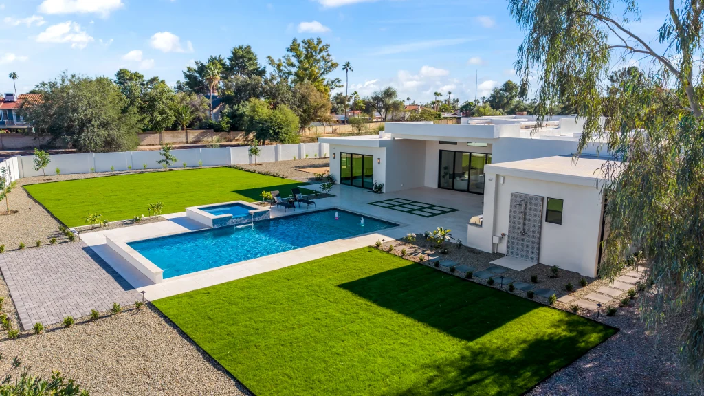
Many Phoenix-area and Scottsdale properties sit on larger lots than is typical in denser markets, and buyers often want to see lot boundaries, desert landscaping, mountain views, or proximity to golf courses and preserves. Aerial coverage is particularly useful here because it’s difficult to convey that context from ground level – which is part of why drone photography tends to carry real value (and real cost) in this market specifically.
What’s Actually Included in Professional Drone Real Estate Photography
Not all drone photography is priced – or delivered – the same way. A few things separate a professional service from someone flying a consumer drone as a side gig:
- FAA Part 107 certification. Commercial drone operation in the U.S. legally requires a Remote Pilot Certificate under FAA Part 107. This isn’t optional – it’s the baseline for legally operating a drone for paid real estate work.
- Liability insurance. Professional operators typically carry commercial drone liability coverage, which protects the property owner and agent if anything goes wrong during a flight.
- Airspace awareness. Knowing which properties require FAA authorization before flying (see above) and handling that authorization proactively rather than discovering the restriction on shoot day.
- MLS-ready file delivery. Properly sized, color-corrected images and appropriately compressed video formatted for MLS upload and social sharing.
- Weather judgment. Knowing when Phoenix conditions – wind, dust, heat – make a flight unsafe or simply produce poor-quality footage, and rescheduling accordingly rather than flying in marginal conditions.
When comparing quotes, it’s worth confirming these basics are included rather than assuming they are.
Common Mistakes That Drive Up Cost or Cause Delays
A few avoidable missteps tend to cause the most frustration – and sometimes extra cost – when booking drone photography for a Phoenix listing:
Booking during peak monsoon weeks without a buffer day. If your listing goes live on a fixed date, build in scheduling flexibility during July through September.
Not mentioning proximity to an airport up front. If a property is near Sky Harbor, Scottsdale Airport, or a smaller municipal field, flagging that when you book gives the pilot time to secure authorization instead of discovering the issue the morning of the shoot.
Assuming all drone operators are licensed and insured. Hiring an unlicensed operator to save money can create liability exposure for the seller and agent, and the FAA can penalize unauthorized commercial drone flights.
Booking drone-only when a bundle would cost less overall. If ground photography or a 3D tour is also needed for the listing, pricing them separately instead of asking about a combined rate often costs more in total.
Underestimating editing needs for video. A quick quote for “aerial video” without clarifying length, music licensing, or motion graphics can lead to a mismatch between expectations and the final price.
How to Get an Accurate Quote
Before requesting pricing, it helps to have a few details ready:
- Property type (residential, commercial, luxury) and approximate lot size
- Whether you need photos, video, or both
- Whether you’re also booking ground photography, videography, or a 3D tour
- The property’s general location, especially if it’s near an airport
- Your target listing date, with any flexibility noted
- Any specific shots you want (twilight, straight-down lot shots, neighborhood context, etc.)
Having these answers ready makes it easier for any provider to give you a precise quote rather than a wide estimated range.
Conclusion
Drone photography pricing for Phoenix real estate listings depends on property size and type, whether you need photos, video, or both, how many services you bundle together, and a few local realities – monsoon season timing, summer heat, and airspace rules near Sky Harbor and Scottsdale Airport. Knowing these factors up front means you can compare quotes accurately and avoid scheduling surprises. If you’re ready to see current packages and pricing for your property, visit our Real Estate Drone Aerial in Phoenix, AZ page or schedule an inspection with our team to get a precise quote for your listing.
FAQs
Is drone photography worth the extra cost for a standard residential listing?
For properties with a notable lot size, desert landscaping, mountain views, or proximity to a golf course or preserve, aerial shots convey context that’s hard to capture from ground level – which is often the deciding factor for buyers scrolling MLS photos. For a small lot in a dense neighborhood with little to show from above, the value proposition is more about polish and differentiation from other listings than showing off land.
Can drone photography be scheduled on short notice in Phoenix?
It depends on the property’s location and the season. Properties away from controlled airspace can often be scheduled with a few days’ notice. Properties near Sky Harbor or Scottsdale Airport may need extra lead time for FAA authorization, and monsoon season (July–September) adds weather-related uncertainty that can affect same-week bookings.
What’s the difference between aerial photos and aerial video pricing?
Photos generally cost less because they require less flight complexity and a simpler edit. Video costs more because it involves continuous flight maneuvers, longer time in the air, and significantly more post-production work – color grading, transitions, pacing, and sometimes licensed music.
Do I need separate quotes for drone photography and ground photography?
Not necessarily. Many providers offer lower combined pricing when drone aerials are bundled with ground photography, videography, or a 3D tour, since it’s typically handled in a single site visit. It’s worth asking about bundled rates before booking each service individually.
How do I know if a drone photographer is properly licensed?
Commercial drone photography in the U.S. legally requires the pilot to hold an FAA Part 107 Remote Pilot Certificate. It’s reasonable to ask a provider directly whether their pilots hold this certification and carry liability insurance before booking.